
GIS Toolbox
Convert coordinates and GIS formats without uploading files
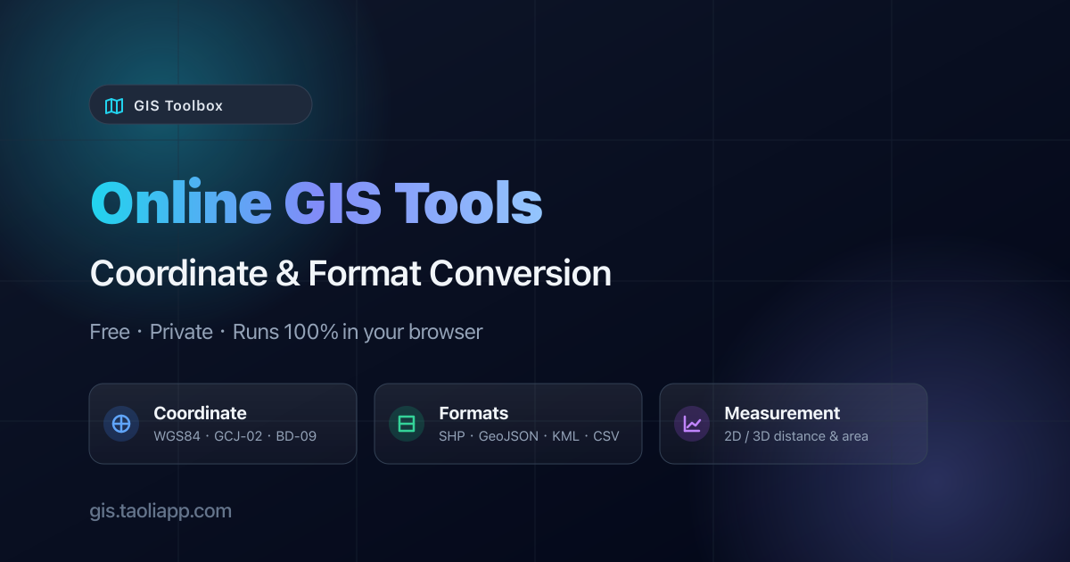
Helps GIS analysts, surveyors, and mappers reproject WGS84, UTM, and EPSG data, convert Shapefile, GeoJSON, KML, and CSV, and measure map distances and areas directly in the browser.
Weekly rank: #3
GIS Toolbox is a Community listing on Launch Llama with 2 upvotes from 2 founders, +2 in the week of Nov 10–Nov 16, 2026, compared against 5 alternatives.
Community listing
Listing status
2upvotes
+2 · Nov 10–Nov 16, 2026
Community score
—
Founder
Compared against 5 alternatives
Market comparison
Launched on Launch Llama Nov 16, 2026 · #3 of 98 that day
About
Processing runs locally through WebAssembly and WebGPU, so files stay on the user's machine and nothing is uploaded. The toolkit spans a map workbench that loads files or PMTiles as styled layers, a 3D globe for measurement with terrain and imagery switching, and raster tools such as NDVI band math, hillshade, and contour generation from DEMs. Spatial SQL queries using ST_Area and ST_Distance and a Workflow Builder for chaining operations into reusable pipelines round out the set.
Key Features
- Convert coordinates between WGS84, Web Mercator, UTM, and 100+ EPSG systems
- Convert Shapefile, GeoJSON, KML, and CSV files, including batch ZIP conversion
- Run buffer, intersect, union, and dissolve operations on GeoJSON polygons
- Measure great-circle distances and areas on a 2D map or 3D globe
- Compute NDVI and band math on multi-band GeoTIFFs in the browser
Use Cases
- Reprojecting a survey table from UTM or State Plane coordinates to latitude and longitude for mapping
- Converting a folder of Shapefiles to GeoJSON in one batch for use in a web map
- Measuring distances and areas on a map or 3D globe during site planning
Who it is for
- GIS professionals who need to convert spatial data formats without uploading files
- Surveyors converting UTM or State Plane survey tables to lat/lon coordinates
Pricing
See the GIS Toolbox website for current pricing.
FAQ
What is GIS Toolbox?
Helps GIS analysts, surveyors, and mappers reproject WGS84, UTM, and EPSG data, convert Shapefile, GeoJSON, KML, and CSV, and measure map distances and areas directly in the browser.
How does GIS Toolbox work?
Processing runs locally through WebAssembly and WebGPU, so files stay on the user's machine and nothing is uploaded. The toolkit spans a map workbench that loads files or PMTiles as styled layers, a 3D globe for measurement with terrain and imagery switching, and raster tools such as NDVI band math, hillshade, and contour generation from DEMs.
Who is GIS Toolbox for?
GIS Toolbox is designed for a range of users, including: • GIS professionals who need to convert spatial data formats without uploading files • Surveyors converting UTM or State Plane survey tables to lat/lon coordinates
What can you do with GIS Toolbox?
With GIS Toolbox you can: • Reprojecting a survey table from UTM or State Plane coordinates to latitude and longitude for mapping. • Converting a folder of Shapefiles to GeoJSON in one batch for use in a web map. • Measuring distances and areas on a map or 3D globe during site planning.
Alternatives
 MapGOThe geospatial workspace that runs in your browser
 ToolsBoxFor digital workers: ToolsBox consolidates 691+ free tools for calculations, conversions, PDFs, and SEO so you stop tab-switching between websites.
 EUDR ToolsFree tools to check HS/CN scope, country-risk information and GeoJSON/KML plot files. They support your own EUDR review; they do not determine compliance or file a DDS.
 Shard ToolsFor developers: Shard Tools converts, compresses, and resizes files directly in your browser so your data never leaves your device.
New on Launch Llama
- Ora
- Starbucks Calorie Calculator
- VideoAny AI
- CleanOps
- EXTREMELY Autonomous Agents
- TariffsChart
- Secondee
- FirstHour Media
Launched this week · This month's launches · All products A–Z
Featured in
- The 13 Best GEO Tools in 2026 (Compared) — ranked #11
Ask AI about GIS Toolbox
Supporters
2 founders
2 founders contributed 2 upvotes to GIS Toolbox on Launch Llama.

Reviews
4.0 · 1 review
Clear homepage: the conversions are listed right away and the note that files stay on your device is reassuring. The page lists a lot of tools at once. A short guided start for first-time visitors would help.
For bots & AI agents
Machine-readable versions of GIS Toolbox and Launch Llama. Fetch these instead of parsing this page.
This listing (.md) llms.txt llms-full.txt ai.txt Full catalog (.md) Endpoint index API docs MCP server MCP manifest Developer docs