
WhereWasTaken
For investigators and researchers: WhereWasTaken analyzes visual clues in photos to pinpoint exact locations without GPS metadata.
Built by L L · Artificial Intelligence · Productivity · Developer Tools · Freemium
In category: #871 of 1985 · Artificial Intelligence
WhereWasTaken is a Community listing on Launch Llama with 21 total upvotes, founded by L L who joined in Jul 2026, compared against 6 alternatives.
Community listing
Listing status
21upvotes
Community score
L L (Joined Jul 2026)
Founder
Compared against 6 alternatives
Market comparison
Launched on Launch Llama Jul 27, 2026 · #83 of 128 that day
About
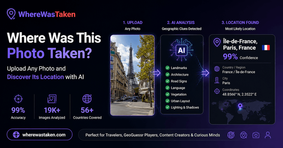
WhereWasTaken is an AI-powered image geolocation engine that identifies where photos were taken using visual clues instead of GPS metadata. Upload any image or GeoGuessr screenshot to receive a comprehensive location analysis, including the most likely location, confidence score, interactive map, geographic evidence, and alternative location candidates. Perfect for travelers, investigators, researchers, and GeoGuessr players.
Use Cases
- Pinpointing where an uploaded photo was taken by analyzing visual clues like landmarks, signs, and architecture when GPS metadata is missing
- Identifying the possible location of a GeoGuessr round from a screenshot using roads, signs, and landscape cues
- Estimating a photo's country, region, and city with a confidence score and supporting evidence
Who it is for
- Investigators and researchers who need to locate where a photo was taken without GPS data.
- GeoGuessr players who want to analyze round screenshots to narrow down possible locations.
Pricing
WhereWasTaken offers a free plan plus paid tiers. See the website for current pricing.
FAQ
What is an AI image location finder?
An AI image location finder is a tool that uses artificial intelligence and computer vision to estimate where a photo was taken. It analyzes visual clues such as landmarks, landscapes, architecture, roads, signs, vegetation, and other geographic features to determine the most likely location.
How can I find where a photo was taken?
Upload your image, and our AI will analyze visual clues in the photo to estimate its most likely location. The analysis results may include the predicted country, region, city, confidence score, and supporting evidence.
Can AI find the location of a photo without GPS metadata?
Yes. Unlike EXIF-based tools that rely on embedded GPS data, AI image location analysis can use visual clues in the image to estimate where a photo was taken, even when GPS metadata is missing or removed.
How accurate is AI photo location estimation?
Accuracy depends on the visual clues available in the image. Clear landmarks, readable signs, unique buildings, roads, and geographic features usually lead to better predictions, while generic scenes may only allow broader regional estimates.
What types of images can AI analyze?
AI can analyze travel photos, street scenes, landscapes, landmarks, buildings, GeoGuessr screenshots, and other images containing location-related clues.
Can I use AI to find the location of a GeoGuessr image?
Yes. AI can analyze GeoGuessr images and screenshots by examining clues such as road signs, architecture, terrain, vehicles, road markings, and regional visual patterns.
What clues does AI use to find a location?
AI analyzes visible clues such as landmarks, buildings, road signs, text, architecture, terrain, vegetation, vehicles, road markings, and other geographic features.
Is the AI image location finder free?
You can try AI photo location analysis for free with limited usage. Pro users get access to higher accuracy analysis, deeper evidence, and additional features.
Alternatives
 PhotoRadarFor investigators: PhotoRadar pinpoints photo locations using AI geolocation so you verify image authenticity and detect AI-generated fakes instantly.
 GeoTaggingPhotosFor photographers: GeoTaggingPhotos adds GPS coordinates to batch photos in your browser so location data stays accurate.
 Worldwide country map For travelers and researchers: Interactive country map lets you explore geography, borders, and regional data across all 195 nations.
Ask AI about WhereWasTaken
Supporters
1 founder
1 founder supported WhereWasTaken on Launch Llama.